Connecting Paddlers to Florida's Water Trails
Welcome to the Florida Paddling Trails Association (FPTA). We are the steward of Florida's paddling trails. FPTA's mission is to support, improve, and maintain water trails; promote environmental protection along the trails; serve as a resource and advocate for paddlers; and promote paddling safety and education. Read more
Our website has information on most water trails in the state including the longest paddling trail in the continental United States, the Florida Circumnavigational Saltwater Paddling Trail (CT). You can find details on day paddles, campsites, launches, sights to see, and facilities along the trails by clicking on the Paddling Trails link on the top menu bar, under Paddling.
Trail of the Month
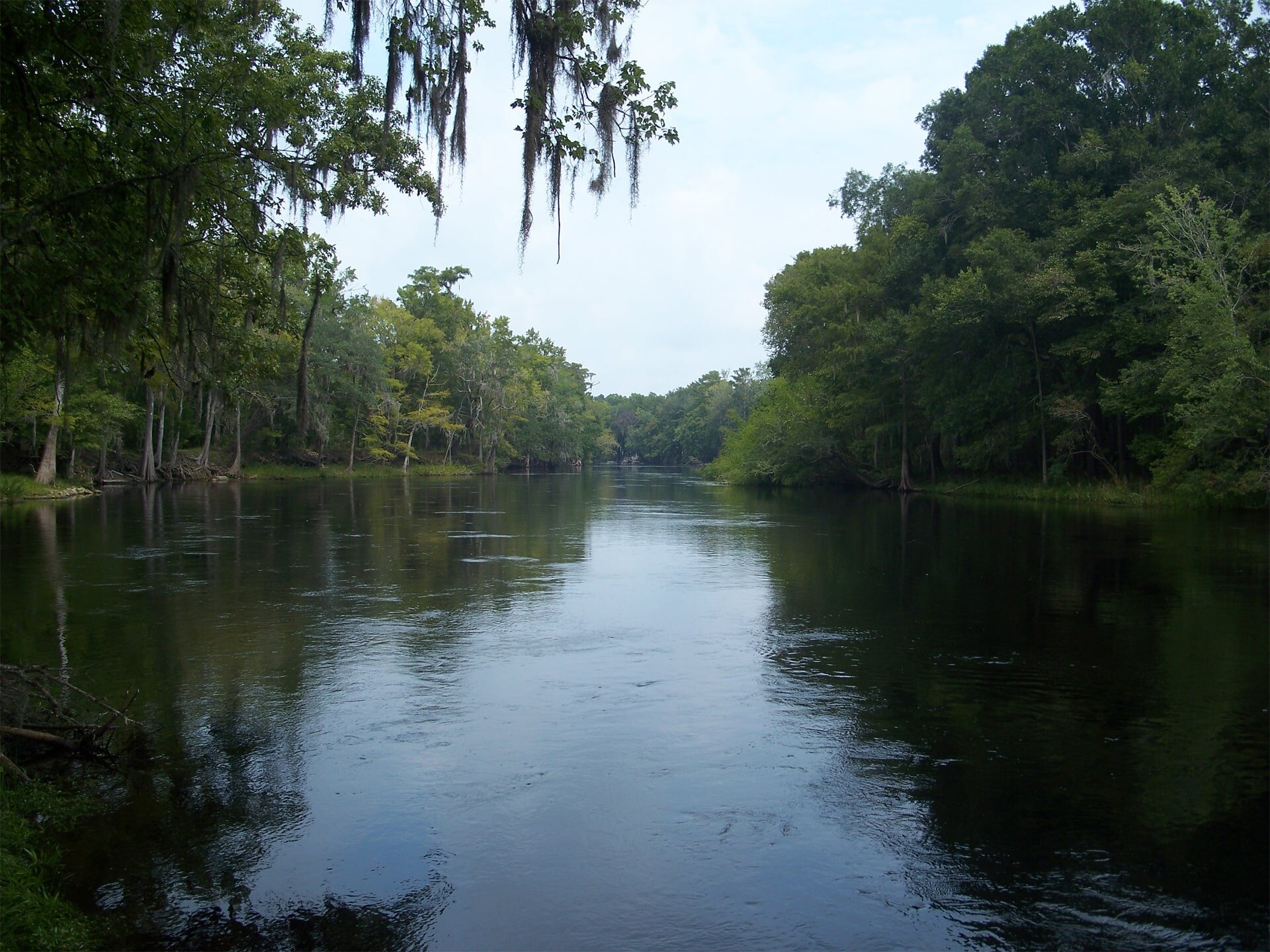
Upper Sopchoppy River Paddle
Submitted by Steve Cournoyer - Region C Co-Director
Upper Sopchoppy River Paddle
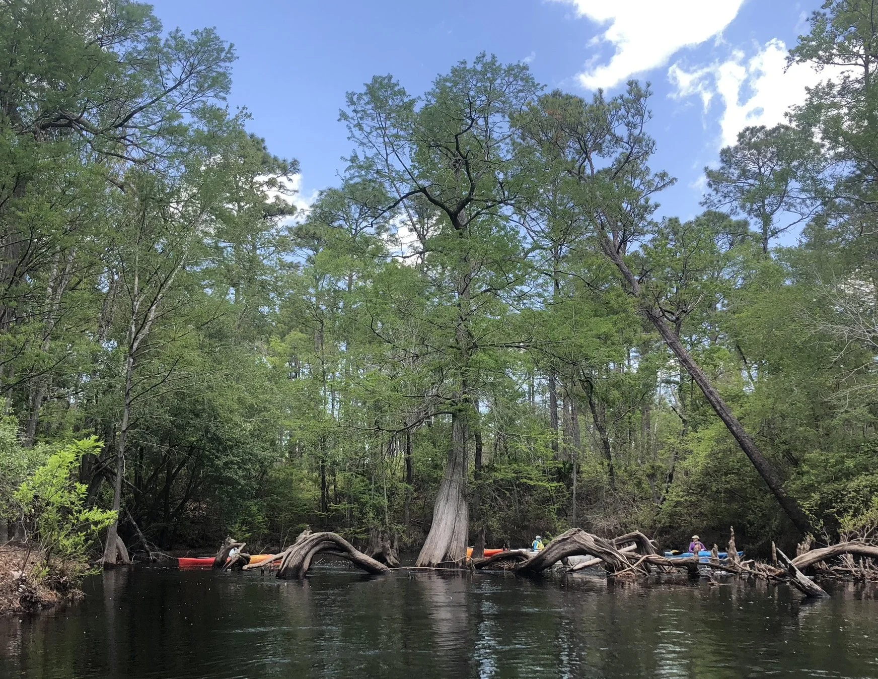
Upper Sopchoppy River Paddle
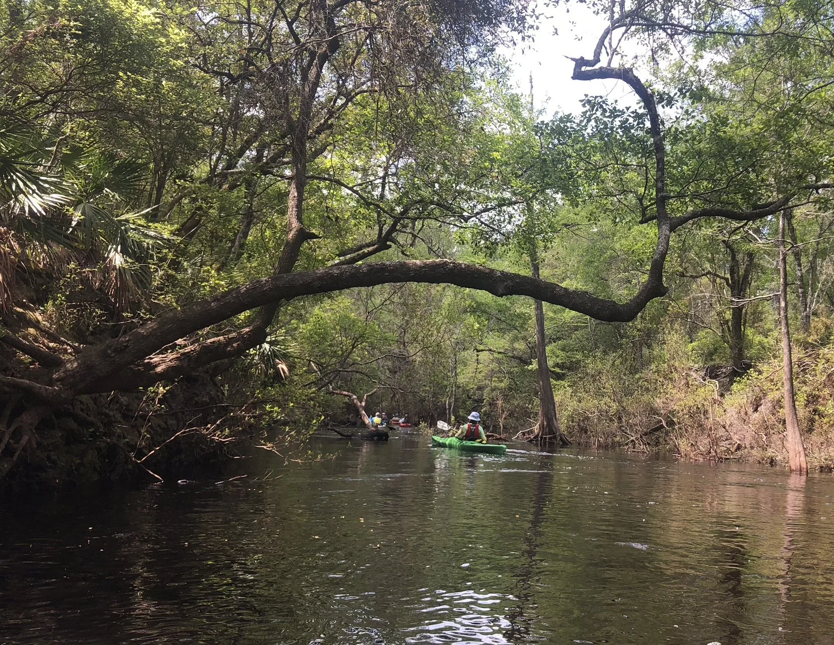
Upper Sopchoppy River Paddle
Upper Sopchoppy River Paddle Details
Description: Launch at the Federal Rd 329 Martian bridge and head down this twisting, pristine, tannic Apalachicola National Forest river. This leg can be a challenging one due to fast currents on high water and navigability issues when water levels are low. A lower levels, there are multiple sandbars for breaks. Continue down stream to the takeout at the Oak Park Cemetery bridge on CR 343.
Skill Level: Novice/Intermediate depending on water levels
Distance/Approximate Time: 4.5 Miles/Approximately 2 hours
Launch Site: NW corner of the Federal Rd 329 bridge
Take Out: SW corner of the Oak Park Cemetery bridge on CR 343
Special Considerations: This upper section is totally dependent on rainfall and occasionally not navigable during periods of low water. Check water levels and current flow at the launch site first. Best paddled when the gage at the National Forest Road 343 (online: NOAA StationID: SOPF1 / USGS ID 2327100) is 9 - 11’ or higher. Possible deadfall and snags, especially after a storm. Both launch and take-out are challenging, and require ingenuity and teamwork due to erosion.
Trip planning: In addition to weather, planning for your trip should include tide and wind forecasts. When Trip planning, please see our Paddling Resources > Planning Tools page - https://www.floridapaddlingtrails.com/planning-tools
For more information: go to: https://www.floridapaddlingtrails.com/s5sr-day-paddles