Android Cell Phone Navigation

Using KMZ Files

So, what are .kmz (KMZ) files?

KMZ files are Google Earth files. They contain individual trails and waypoints. In addition to using them on Garmin GPS units, if you have Google Earth or Google Earth Pro (both free) on your desktop, the trail will open up on Google Earth when you click on the KMZ file once it is downloaded to your desktop. This is a great way to zoom in and review your trip when planning. Also, for our purpose here, you can transfer the KMZs, without using your desktop, from the FPTA website on your phone to a phone navigation app, so that you can use it for navigate the trail with your cell phone. Below are the instructions for cell phone usage.

ANDROID CELL PHONE INSTRUCTIONS

  1. Download the free version of GAIA GPS to your phone from the Google Store. Follow the GAIA GPS registration to set up your account. This is required even for the free version.

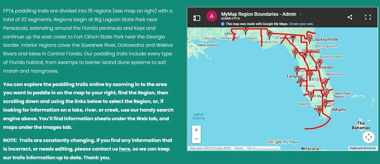
  2. Using your cellphone, go to the FPTA website. (A) Click on the menu bar. (B) Select “Paddling Resources.” (C) Select “Paddling Trails.”

3. This will direct you to a page displaying a map with the FPTA regions. Find the Region you plan to paddle.

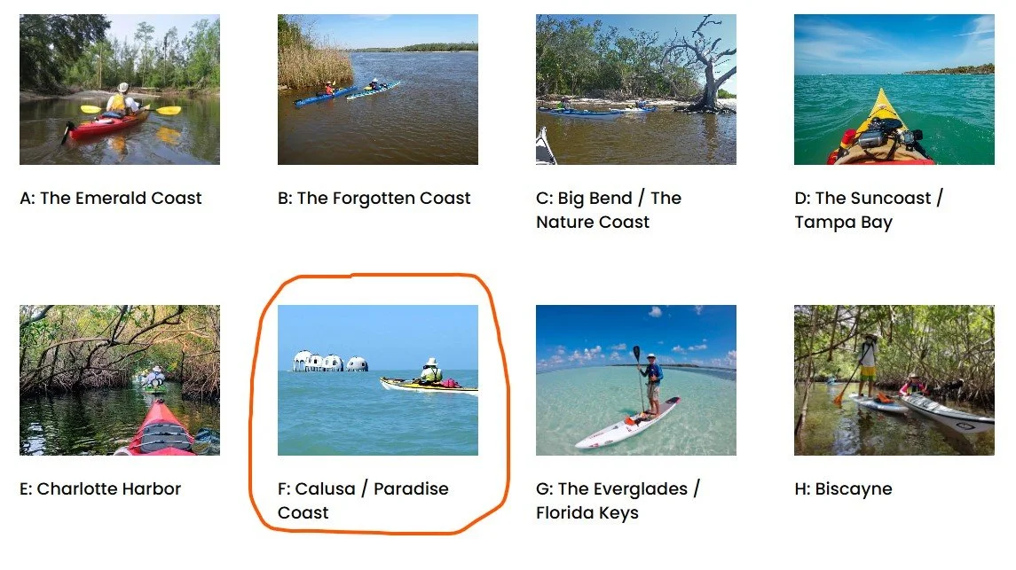
4. After identifying the region, scroll down and click on the image for that region (in this example, we are selecting Region F: Calusa / Paradise Coast).

5. This will take you to a page displaying all the mapped trails in that area. Select the area (in this example we are selecting Marco Island/Cape Romano area.)

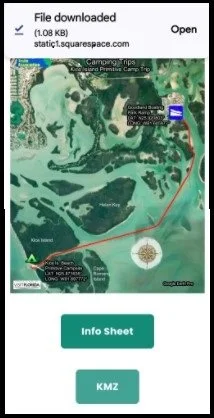
6. Locate the paddle you want - From here, you have 3 choices: Selecting a Map, Info Sheet (important details about the paddle), and/or a KMZ file.

7. (A) Click on the green “KMZ” file button. (B) Then choose Download > Open > Upload. The KMZ file will go to the DOWNLOADS or SAVED folder. (D) Close the FPTA website, unless you want to save multiple trails.

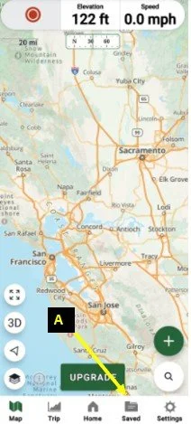
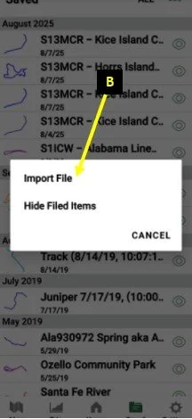
8. Open the GAIA GPS app and (A) go to the SAVED FOLDER tab at the bottom, then click on the 3 dots in the upper right-hand corner, (B) then select IMPORT FILE.


9. Go to the folder and select the KMZ you downloaded to the “Downloads” folder It will save the map on your GAIA app. Once you’ve done this, the trail will be in your “Saved” maps.

10. Click on the small map and Select “Show on Main Map”.

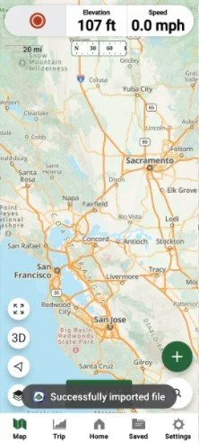
11. This will open your map on the full screen (below). Your location will appear when you are at the launch site.


12. IMPORTANT SAFETY NOTES:

(A) GPS devices and navigation apps work directly from satellites and do not need cell service. (B) Make sure your phone is fully charged before launching. (C) An important safety check is to have your saved KMZ loaded into your app prior to launching while you still have cell service and checked to make sure everything is up and running properly. (D) To save your battery during your paddle, it’s very important that you place your phone in “Airplane Mode” (in Settings) to save battery life. Only switch to Airplane Mode after you know everything is functioning properly. Despite being in Airplane Mode, the GAIA GPS app will be usable and track you (but you will not have cell service or receive phone calls).