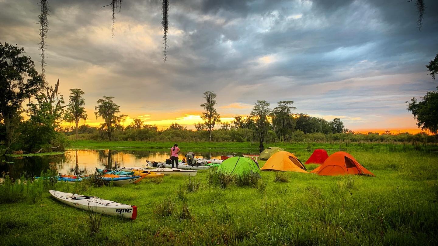
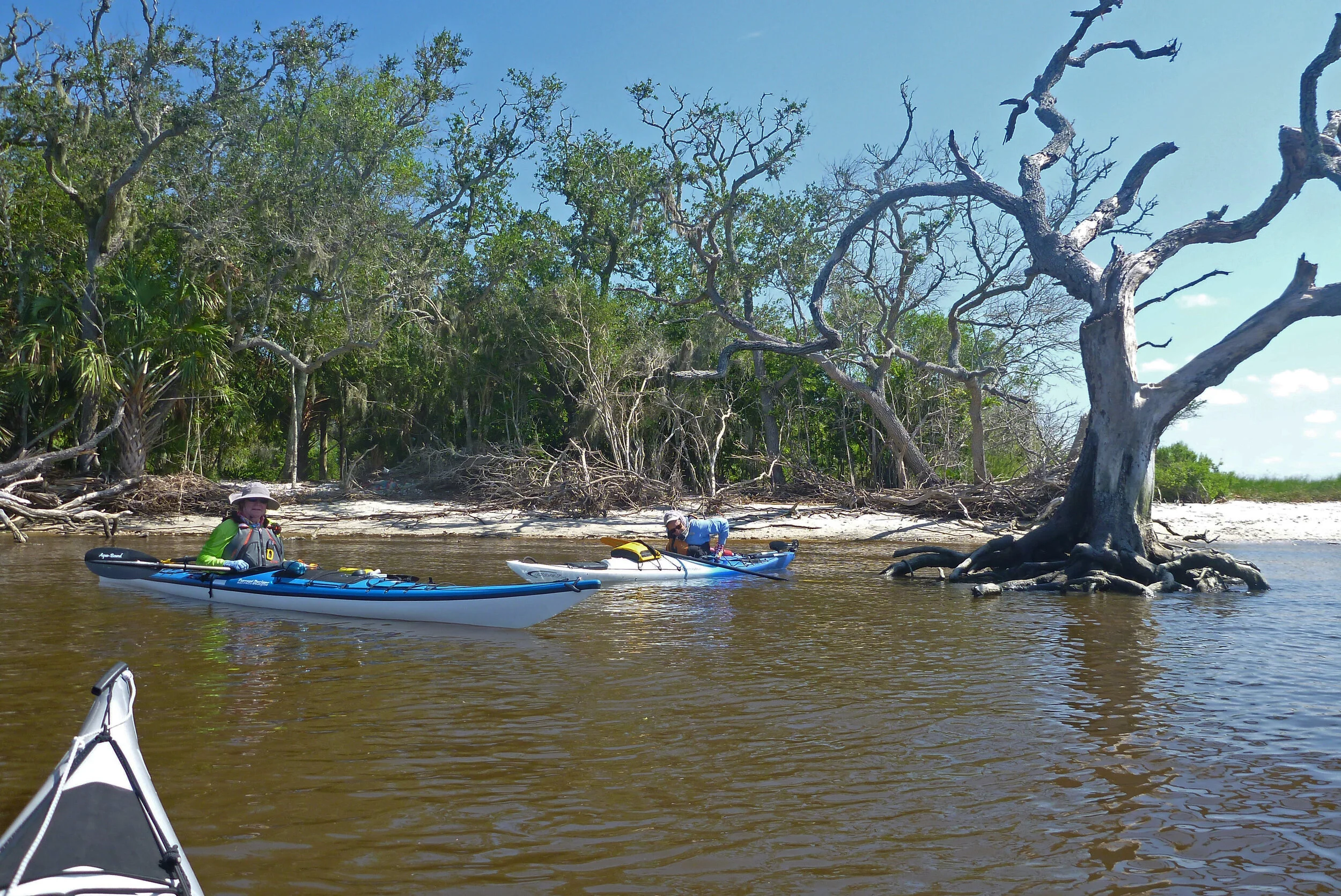
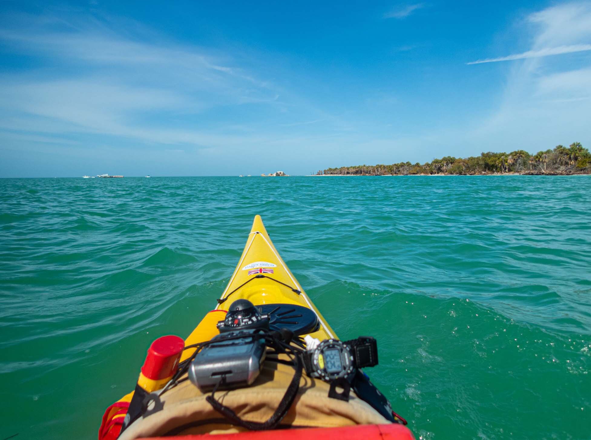
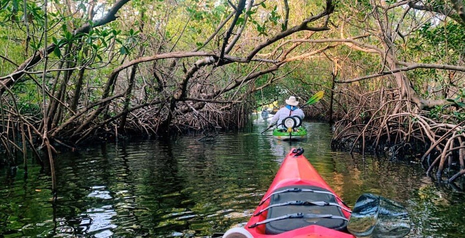
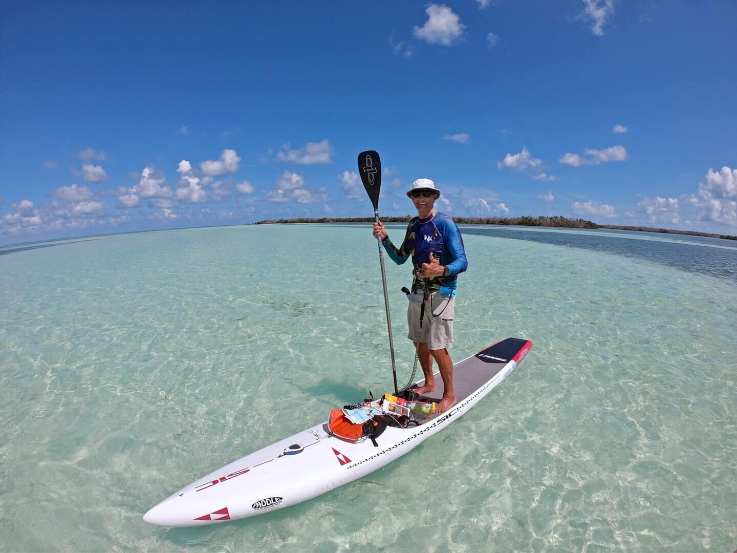
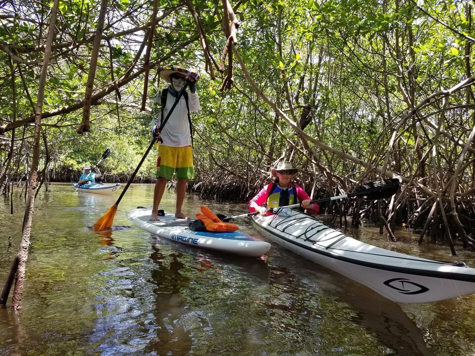
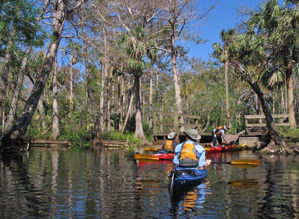
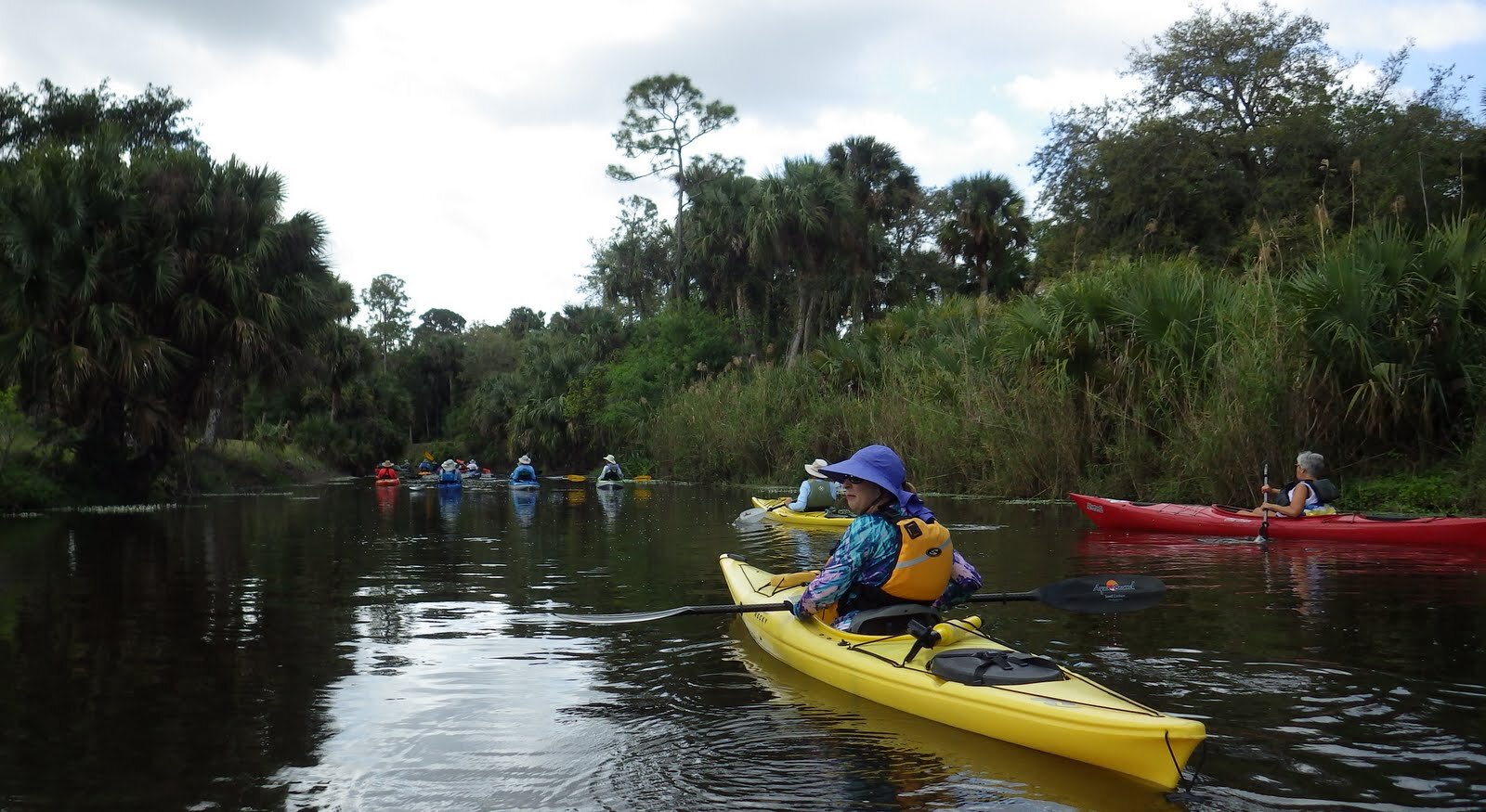
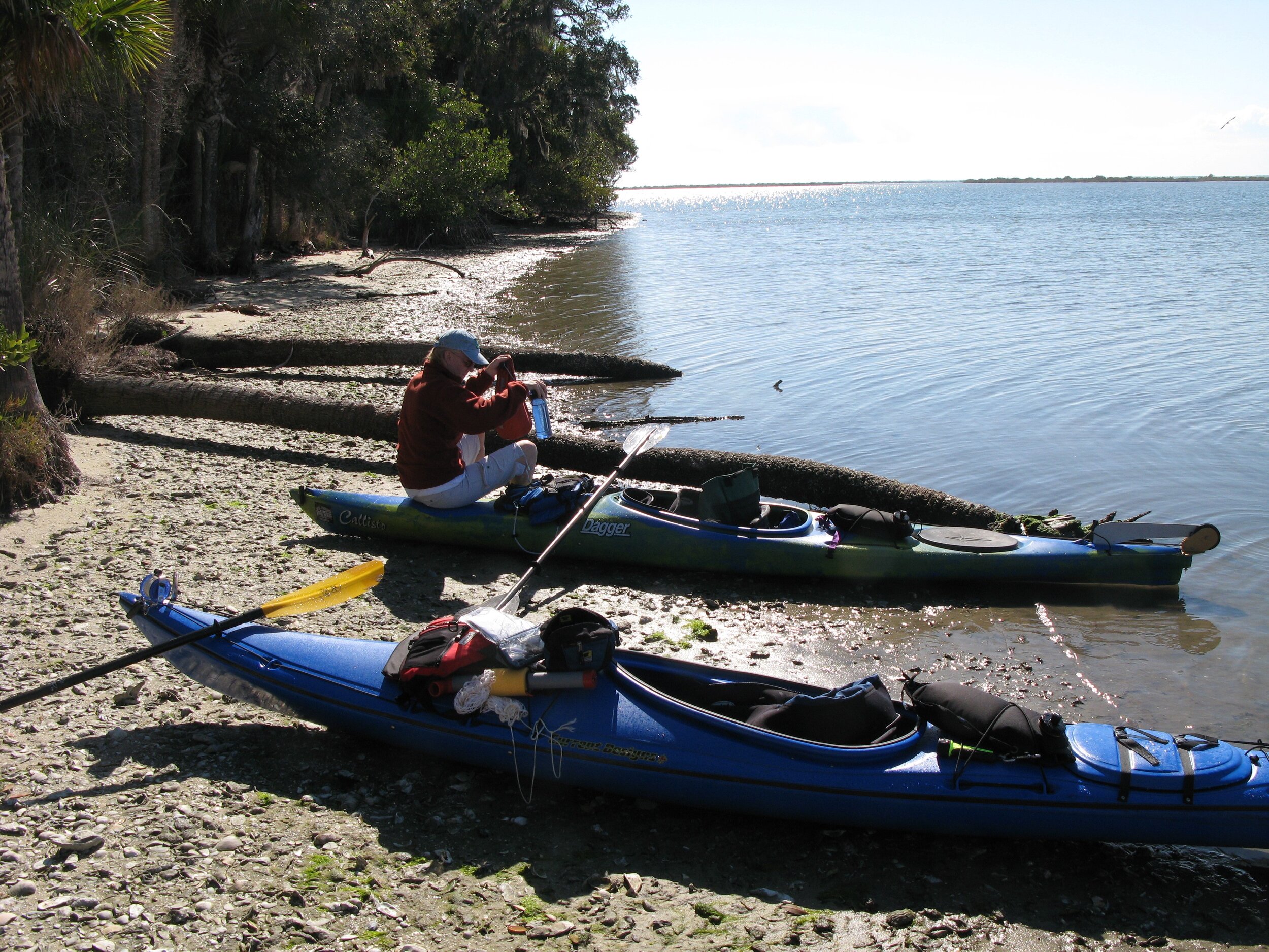
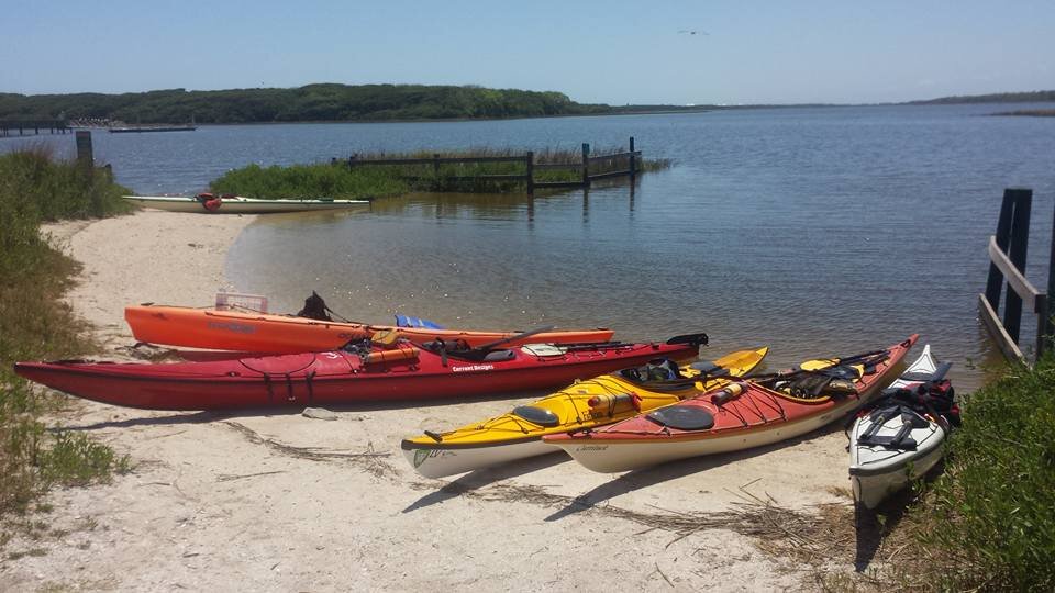
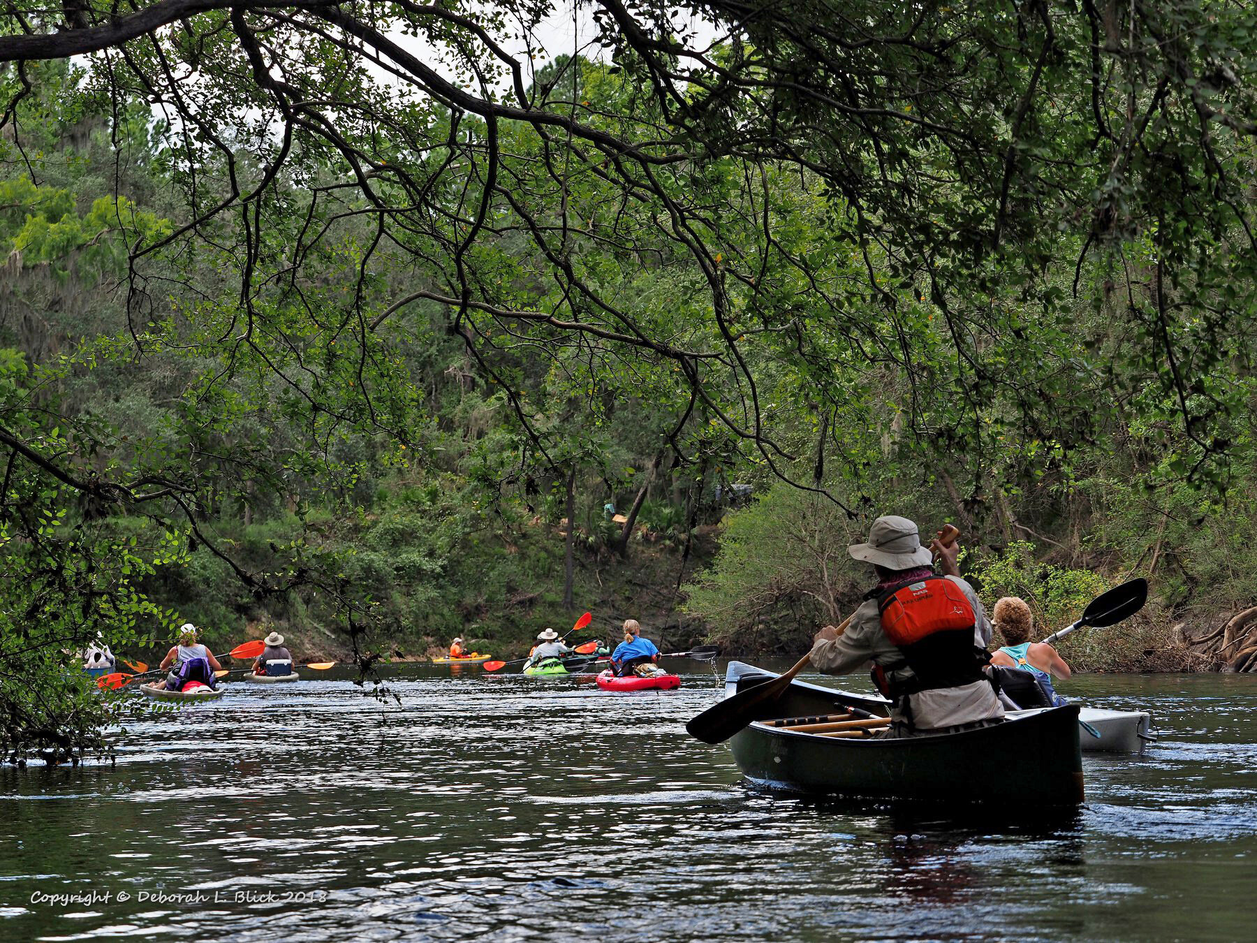
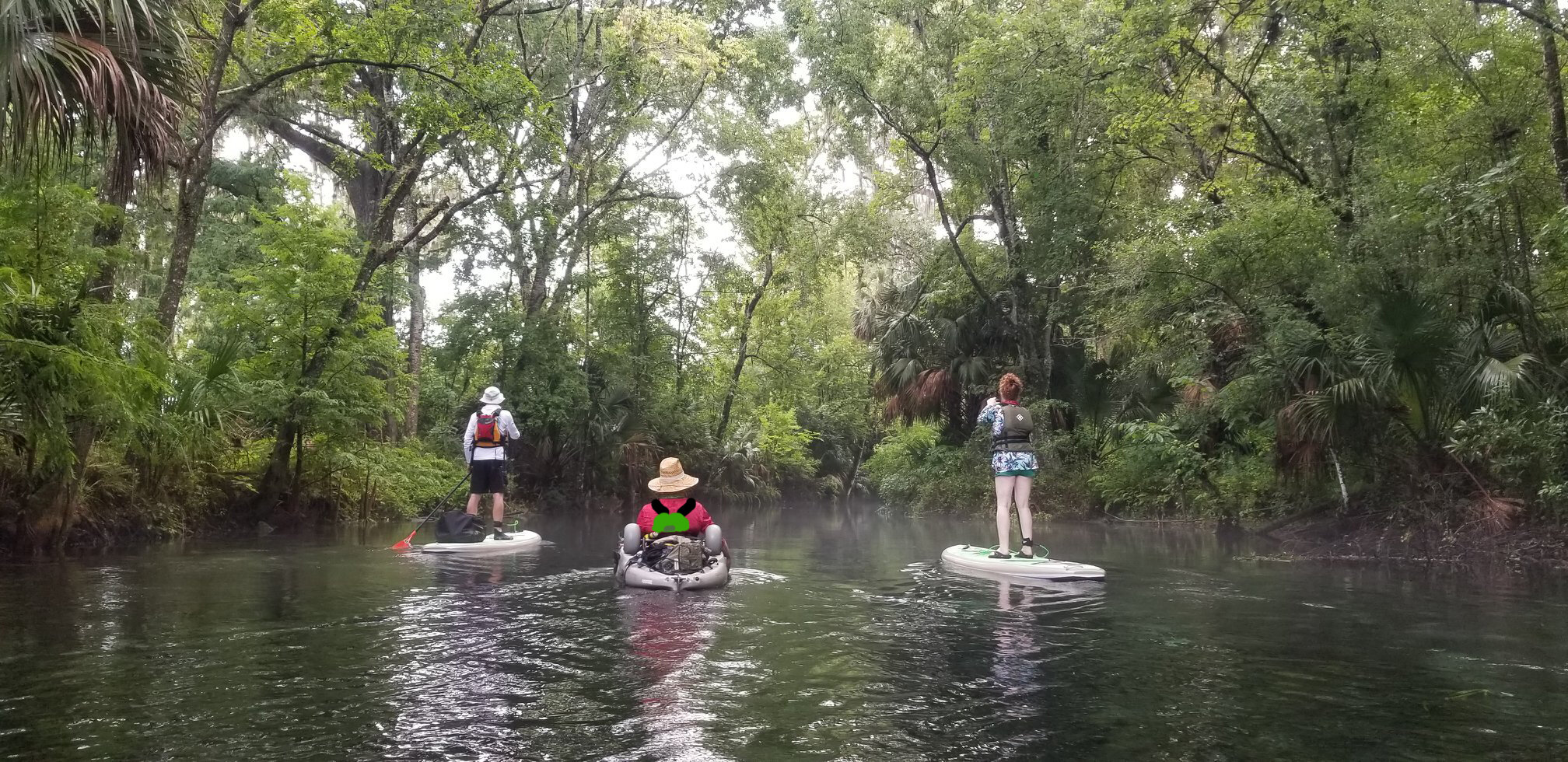
Paddling Trails
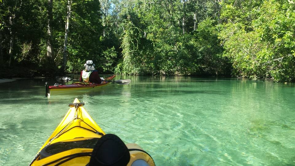
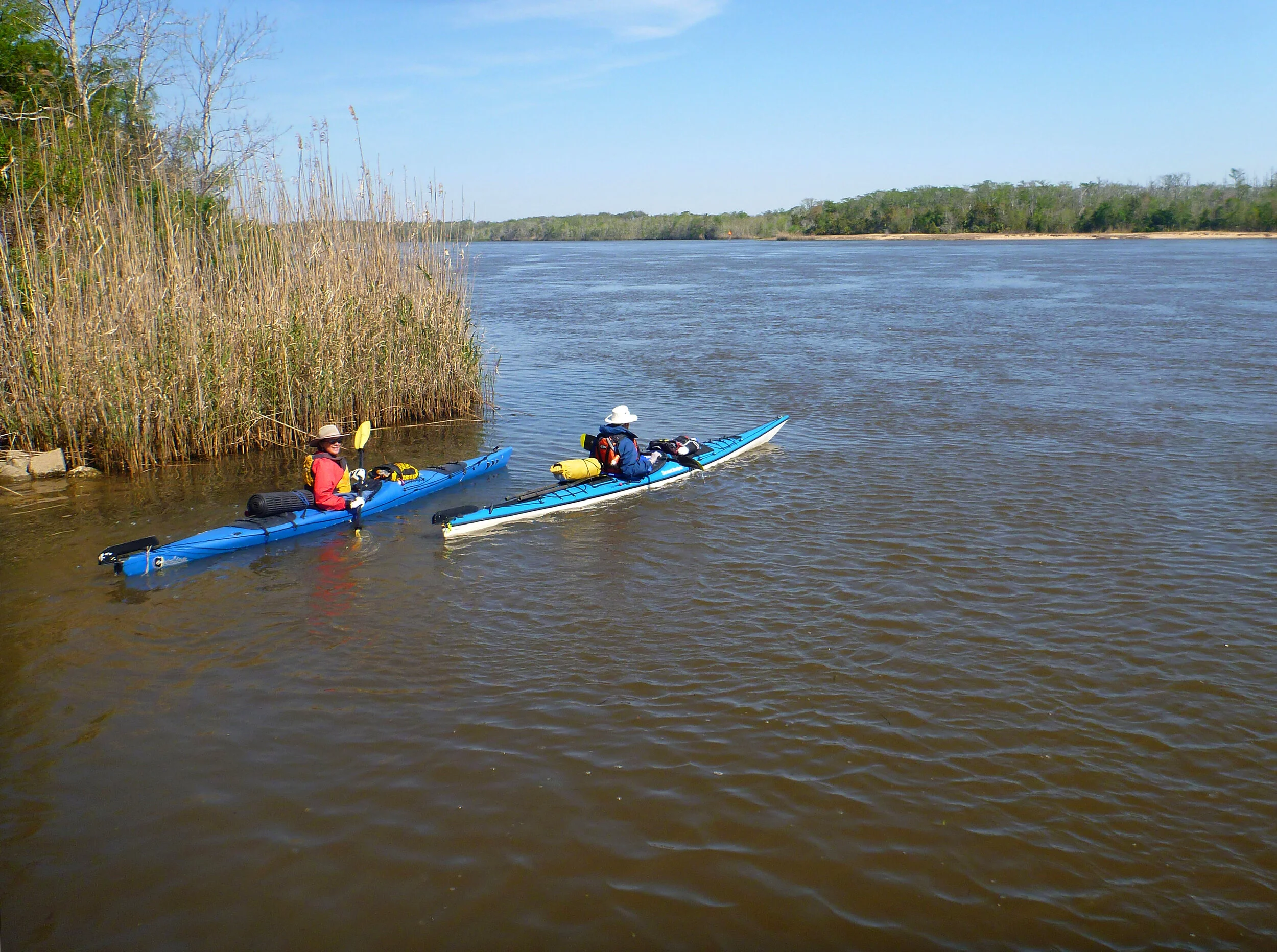
FPTA paddling trails are divided into 15 regions (see map on right) with a total of 32 segments. Regions begin at Big Lagoon State Park near Pensacola, extending around the Florida peninsula and Keys and continue up the east coast to Fort Clinch State Park near the Georgia border. Interior regions cover the Suwanee River, Ocklawaha and Wekiva Rivers and lakes in Central Florida. Our paddling trails include every type of Florida habitat, from swamps to barrier island dune systems to salt marsh and mangroves.
You can explore the paddling trails online by zooming in to the area you want to paddle in on the map to your right, find the Region, then scrolling down and using the links below to select the Region, or, if looking for information on a lake, river, or creek, use our handy search engine above. You’ll find information sheets under the Web tab, and maps under the Images tab.
NOTE: Trails are constantly changing. If you find any information that is incorrect, or needs editing, please contact us here, so we can keep our trails information up to date. Thank you.
A: The Emerald Coast
B: The Forgotten Coast
C: Big Bend / The Nature Coast
D: The Suncoast / Tampa Bay
E: Charlotte Harbor
F: Calusa / Paradise Coast
G: The Everglades / Florida Keys
H: Biscayne
I: The Gold Coast
J: Treasure Coast
K: The Space Coast
L: The First Coast
M: Suwannee
N: Orlando