Desktop Planning for Cell Phone Navigation
Using KMZ Files
So, what are .kmz (KMZ) files?
KMZ files are Google Earth files. They contain individual trails and waypoints. In addition to using them on Garmin GPS units, if you have Google Earth or Google Earth Pro (both free) on your desktop, the trail will open up on Google Earth when you click on the KMZ file once it is downloaded to your desktop. This is a great way to zoom in and review your trip when planning. Also, for our purpose here, you can transfer the KMZs, using your desktop, from the FPTA website on your desktop to a phone navigation app, so that you can use it to navigate the trail with your cell phone. Below are the instructions for cell phone usage.
DESKTOP/CELL PHONE INSTRUCTIONS
Download the free version of GAIA GPS to your phone. For an iPhone, download the GAIA GPS app from the Apple Store, for an Android phone, download the GAIA GPS app from the Google Play Store. Follow the GAIA GPS registration to set up your account. This is required even for the free version. Remember your Login User Name and Password.
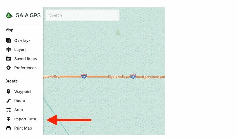
Go to your desktop and open your web browser. Go to gaiagps.com, and Login to your Gaia Account. Click on the Gaia Logo in the upper left corner.
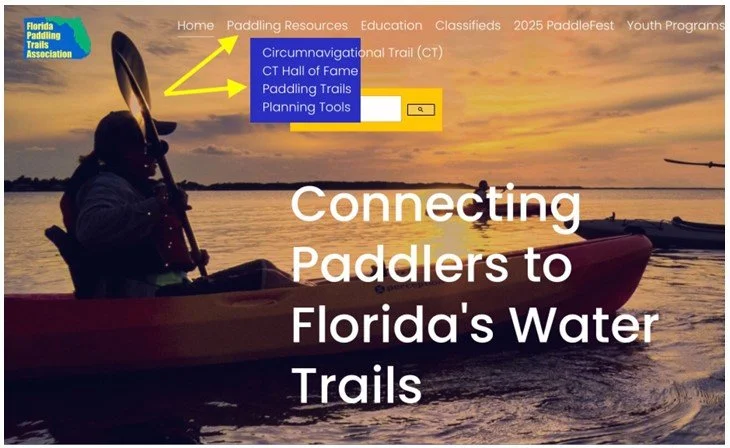
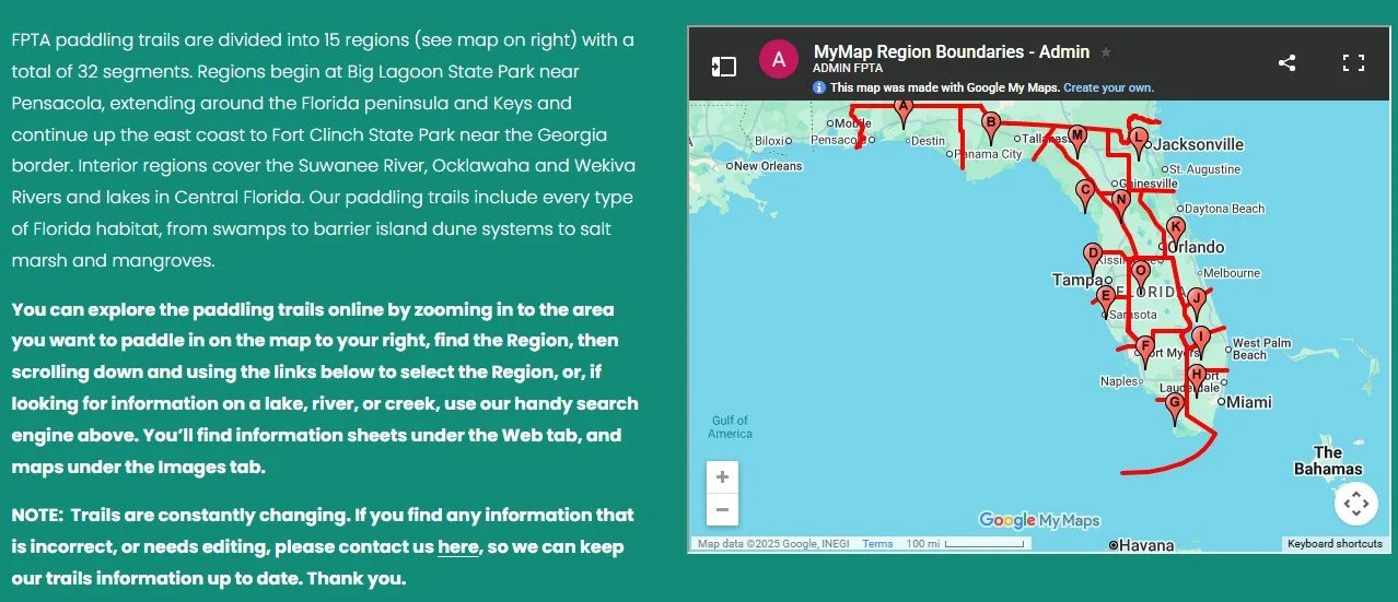
Go to the FPTA website. (A) Click on the menu bar. (B) Select “Paddling Resources.” (C) Select “Paddling Trails.”